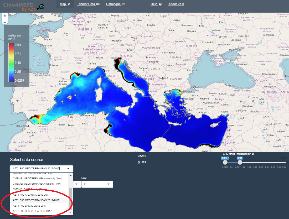
As you may already know, the Commission Decision (EU) 2018/229 of 12 February 2018, that summarizes the results of the 3rd phase of the WFD intercalibration exercise, include the 90th percentile of chlorophyll-a within a 6-years period as the indicator to assess the quality of some marine regions across de EU.
Thus, we are pleased to inform you that under the CHLO4MSFD project, we have generated new maps representing the 90th percentile of chlorophyll-a values between 2012 and 2017 (6 years) for the Atlantic, Mediterranean, Black Sea and Baltic Regions.
Each of these new maps have been calculated using the daily means from the following E.U. Copernicus marine datasets:
- OCEANCOLOUR_BAL_CHL_L3_NRT_OBSERVATIONS_009_049
- OCEANCOLOUR_BS_CHL_L4_NRT_OBSERVATIONS_009_045
- OCEANCOLOUR_MED_CHL_L4_NRT_OBSERVATIONS_009_041
- OCEANCOLOUR_ATL_CHL_L3_NRT_OBSERVATIONS_009_036
You can freely* visualize and extract data from these products in the CHLO4MSFD Service portal: https://chlo4msfd.azti.es/CHLO4MSFD_V1.0/.
*CHLO4MSFD is an operational service maintained by AZTI, whose data and services are freely distributed and may be used without previous registration or special requirement except the acknowledgement to the data and service sources as follows:
“The data were extracted from the [data product] generated under the E.U. Copernicus Marine Service Information, using the CHLO4MSFD Service operated by AZTI (https://chlo4msfd.azti.es)”
For more info you can email us to: chlo4msfd@azti.es
