CHLO4MSFD is based on satellite chlorophyll-a data products:
-> selected from the Copernicus Marine Services catalogue
-> derived products generated by AZTI.
The Copernicus Marine Service used in the CHLO4MSFD Service include the following:
| Product name | Original Providers Dataset Name and Metadata. | GeographicalExtent | Temporal Extent | Algorithm Used |
| ATLANTIC monthly (1km) | dataset-oc-atl-chl-multi_cci-l4-chl_1km_monthly-rep-v02 | Atlantic | 1997-09-01 to 2016-09-01 | OC5ci algorithm, a combination of OCI (Hu, Lee & Franz, 2012) and OC5 (Gohin, F., et al., 2008.) |
| ATLANTIC weekly (1km) | dataset-oc-atl-chl-multi_cci-l4-chl_1km_8days-rep-v02 | Atlantic | 1997-08-29 to 2016-12-26 | |
| BALTIC daily (1km) | dataset-oc-bal-chl-multi_cci-l3-chl_1km_daily-rep-v02 | Baltic | 1997-09-04 to 2016-12-31 | BalAlg is an adaptation of the OC4v6 algorithm for the Baltic Sea (Pitarch et al., 2016). |
| BLACK SEA weekly (1km) | dataset-oc-bs-chl-multi_cci-l4-chl_1km_8days-rep-v02 | Black Sea | 1997-09-14 to 2016-12-26 | Regional ocean colour algorithm (BSAlg, Kopelevich et al., 2013) |
| BLACK SEA monthly (1km) | dataset-oc-bs-chl-multi_cci-l4-chl_1km_monthly-rep-v02 | Black Sea | 1997-09-01 to 2016-09-01 | |
| MEDITERRANEAN weekly (1km) | dataset-oc-med-chl-multi_cci-l4-chl_1km_8days-rep-v02 | Mediterranean | 1997-09-14 to 2016-12-26 | For Case 1 waters, an updated version of the algorithm reported in Volpe et al. (2007), has been adopted; for Case 2 waters type the AD4 algorithm (DAlimonte and Zibordi, 2003) |
| MEDITERRANEAN monthly (1km) | dataset-oc-med-chl-multi_cci-l4-chl_1km_monthly-rep-v02 | Mediterranean | 1997-09-01 to 2016-09-01 |
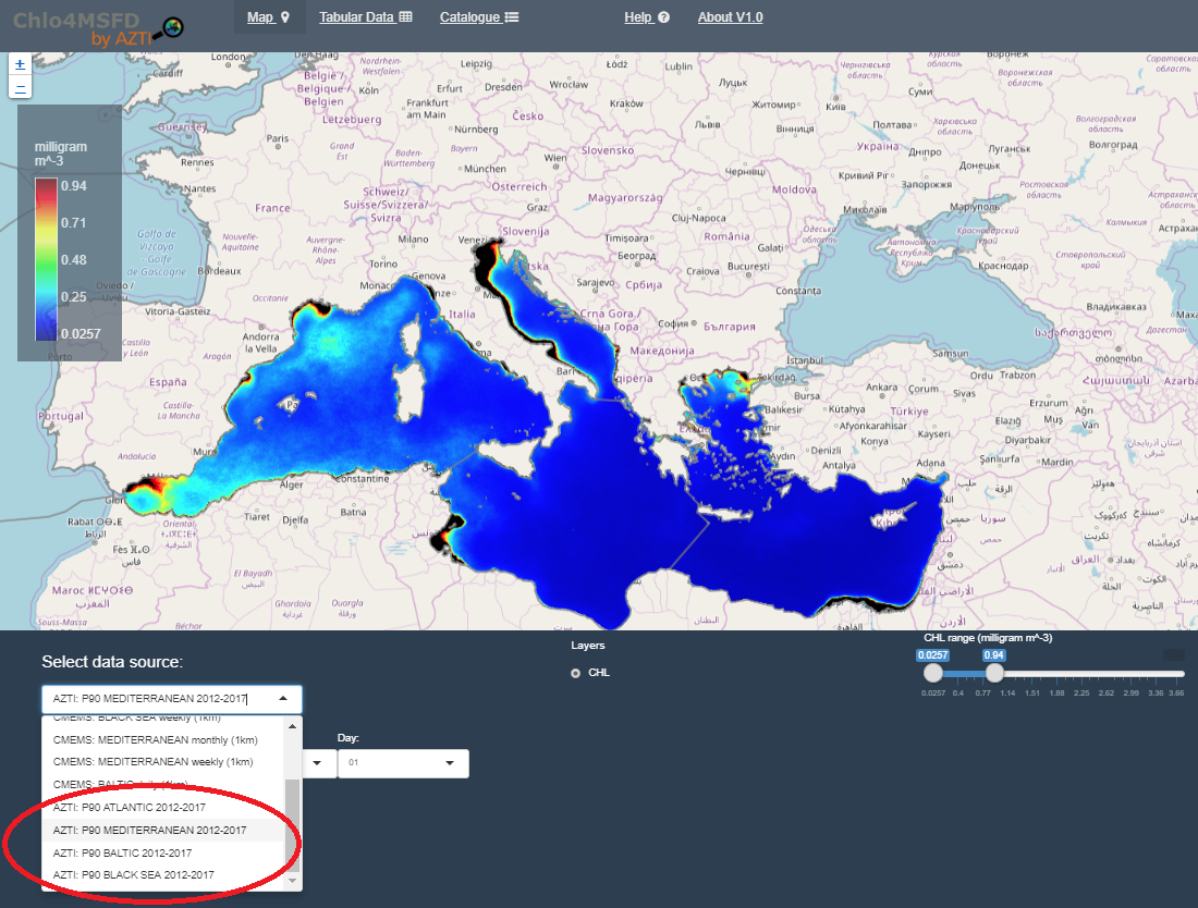
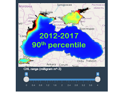
Moreover, AZTI has generated new products representing the 90th percentile of chlorophyll-a values between 2012 and 2017 (6 years) in several european marine regions. The Commission Decision (EU) 2018/229 of 12 February 2018, that summarizes the results of the 3rd phase of the WFD intercalibration exercise, include the 90th percentile of chlorophyll-a within a 6-years period as the indicator to assess the quality of some marine regions across de EU.
These products have been calculated using the daily means from the following E.U. Copernicus marine datasets:
- OCEANCOLOUR_BAL_CHL_L3_NRT_OBSERVATIONS_009_049
- OCEANCOLOUR_BS_CHL_L4_NRT_OBSERVATIONS_009_045
- OCEANCOLOUR_MED_CHL_L4_NRT_OBSERVATIONS_009_041
- OCEANCOLOUR_ATL_CHL_L3_NRT_OBSERVATIONS_009_036
How is the Copernicus Marine Service information integrated in CHLO4MSFD Service?
CHLO4MSFD harvests the above mentioned products from Copernicus Marine WMS (Web mapping Service) service, and through its interface controls, generates requests to view or extract data from those products.
How is Copernicus Marine Service information be useful for this Service?
The data delivered through the CHLO4MSFD portal is primarily based on products provided by Copernicus Marine Service (http://marine.copernicus.eu), and thus, this service reinforces the visibility of Copernicus Marine Service datasets to users contributing to the MSFD, and facilitate understanding of these data to promote their introduction in MSFD.
Concerning the expected contribution to the MSFD, this service will try to stimulate actors responsible for the monitoring and assessment requirements under the MSFD to use data derived from other sources than those used traditionally, and implement appropriate methodologies to incorporate these into accurate and coherent assessment.


